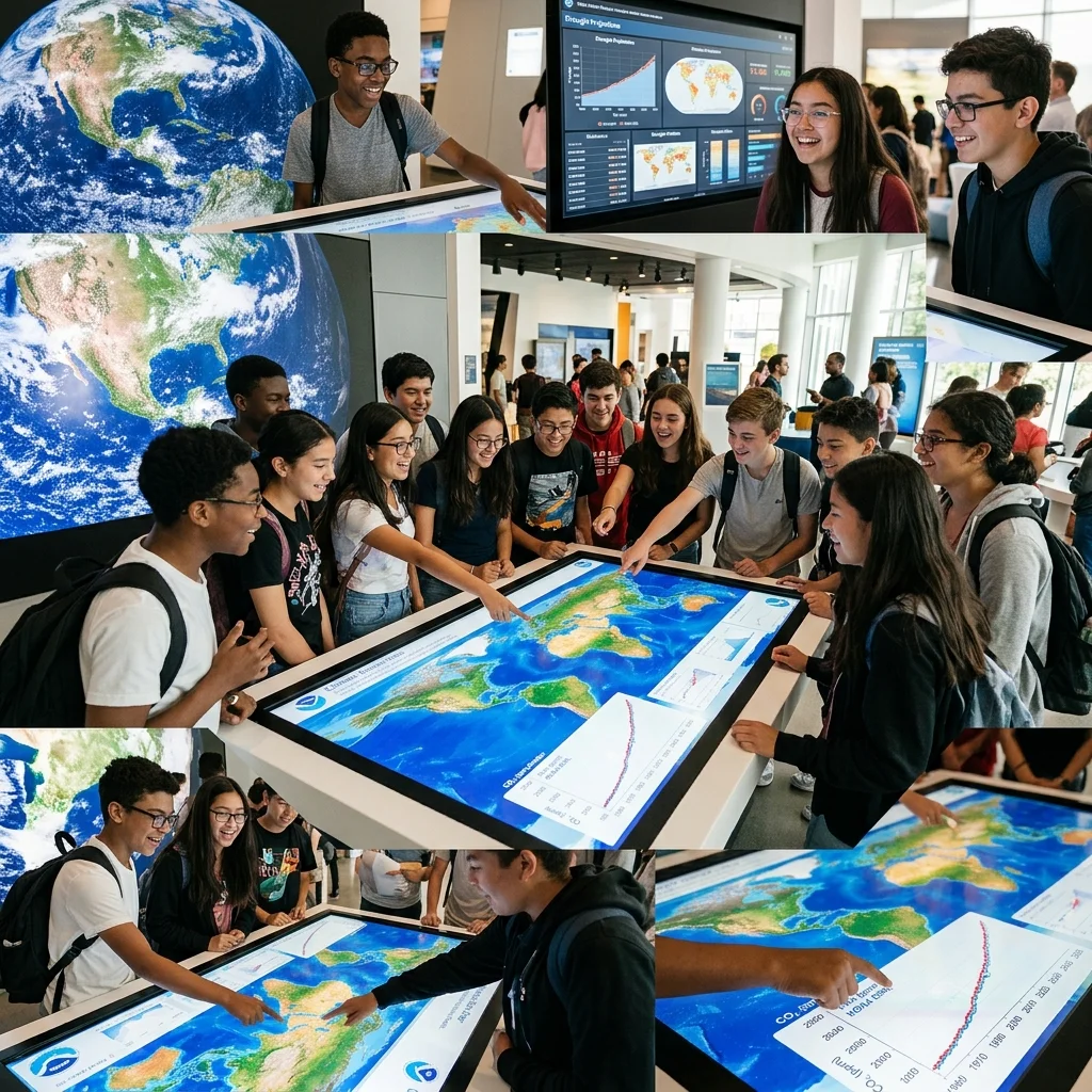
Teal Tool: Democratizing Climate Data Visualization for a Sustainable Future
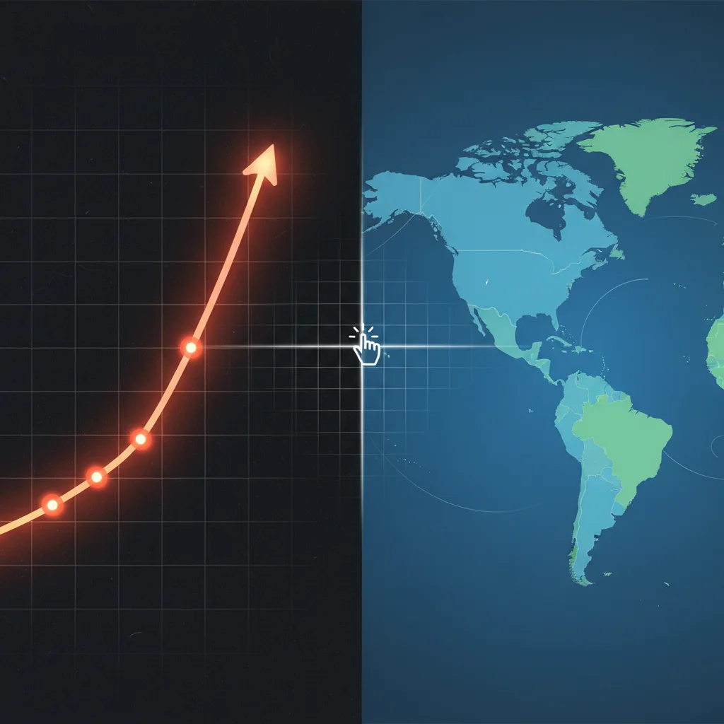
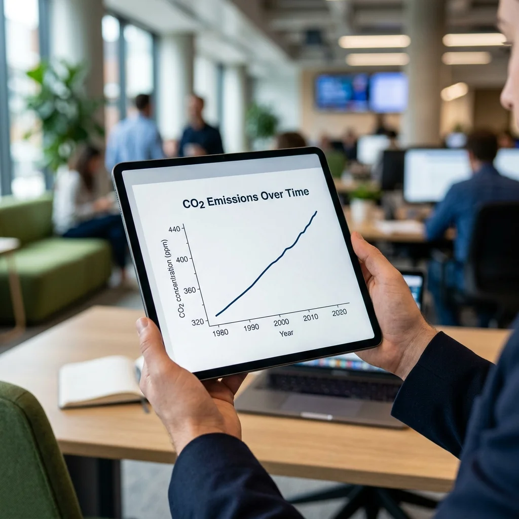
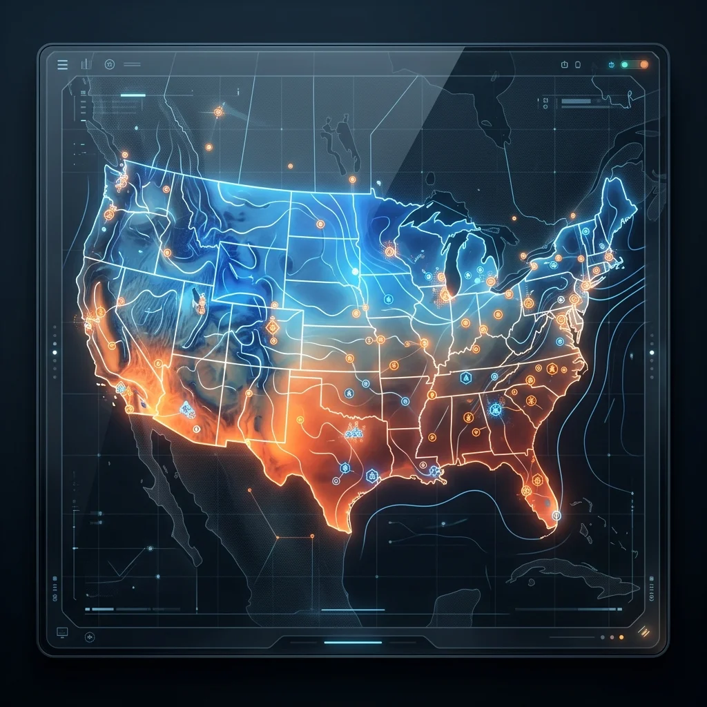
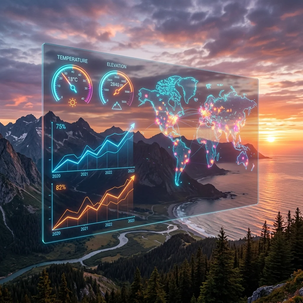
Teal is a free, interactive climate data visualization tool developed by the World Energy and Meteorology Council (WEMC) that pulls authoritative data from the European Union's Copernicus Services. Covering carbon emissions, temperature, precipitation, wind speed, and solar radiation from 1950 to near real time, Teal offers an intuitive globe map, country-specific hover data, and time-series graphs. Designed especially for youth, its simple interface removes barriers to climate intelligence, empowering students, educators, small businesses, and policymakers to make data-driven decisions. This article explores Teal's features, credibility through its Copernicus partnership, and its deeper economic impact—democratizing access to climate data and potentially disrupting traditional consulting markets. We also examine how Teal can inform supply chain risk assessments and foster a climate-literate generation.